The RUMO Project is a mitigation measure required under the Federal Environmental Licence issued by Instituto Brasileiro de Meio Ambiente e Recursos Naturais Renováveis (Ibama) for oil production in the Baúna Field, located in the Santos Basin and managed by Karoon Energy.
Maps
The RUMO Project presents
two new tools:
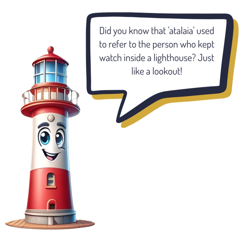
The “Olhar do Atalaia” maps and the “Technical Map”, new educommunication tools brought together in a portal where the territory is revealed through the dynamics of those who live and transform this region daily.
The purpose of these tools is to spatialise the information gathered by the Project throughout its work in the Itajaí-Açu River Mouth territory. Our goal is to represent the diversity of actors and sectors involved in the dynamics of the River Mouth through two complementary maps. The information contained in the “Olhar do Atalaia” Map is further explored in the “Technical Map”.
We aim to promote an individual understanding of the complexity generated by the shared use of a public space, encouraging reflection on relationships, interactions, and potential overlapping uses to enrich the debate on shared management and governance of this space.
We invite you to navigate the waters
of the Itajaí-Açu River Mouth
At the end of the “Olhar do Atalaia” map, you’ll be able to access a platform that allows users to explore numerous pieces of information and strategic points gathered in the “Technical Map”.
Usamos cookies em nosso site para oferecer a você uma experiência mais relevante, lembrando suas preferências. Ao clicar em “Aceitar tudo”, você concorda com o uso de TODOS os cookies.
This website uses cookies to improve your experience while you navigate through the website. Out of these, the cookies that are categorized as necessary are stored on your browser as they are essential for the working of basic functionalities of the website. We also use third-party cookies that help us analyze and understand how you use this website. These cookies will be stored in your browser only with your consent. You also have the option to opt-out of these cookies. But opting out of some of these cookies may affect your browsing experience.
Necessary cookies are absolutely essential for the website to function properly. These cookies ensure basic functionalities and security features of the website, anonymously.
Cookie
Duração
Descrição
cookielawinfo-checkbox-analytics
11 months
This cookie is set by GDPR Cookie Consent plugin. The cookie is used to store the user consent for the cookies in the category "Analytics".
cookielawinfo-checkbox-functional
11 months
The cookie is set by GDPR cookie consent to record the user consent for the cookies in the category "Functional".
cookielawinfo-checkbox-necessary
11 months
This cookie is set by GDPR Cookie Consent plugin. The cookies is used to store the user consent for the cookies in the category "Necessary".
cookielawinfo-checkbox-others
11 months
This cookie is set by GDPR Cookie Consent plugin. The cookie is used to store the user consent for the cookies in the category "Other.
cookielawinfo-checkbox-performance
11 months
This cookie is set by GDPR Cookie Consent plugin. The cookie is used to store the user consent for the cookies in the category "Performance".
viewed_cookie_policy
11 months
The cookie is set by the GDPR Cookie Consent plugin and is used to store whether or not user has consented to the use of cookies. It does not store any personal data.
Functional cookies help to perform certain functionalities like sharing the content of the website on social media platforms, collect feedbacks, and other third-party features.
Performance cookies are used to understand and analyze the key performance indexes of the website which helps in delivering a better user experience for the visitors.
Analytical cookies are used to understand how visitors interact with the website. These cookies help provide information on metrics the number of visitors, bounce rate, traffic source, etc.
Advertisement cookies are used to provide visitors with relevant ads and marketing campaigns. These cookies track visitors across websites and collect information to provide customized ads.